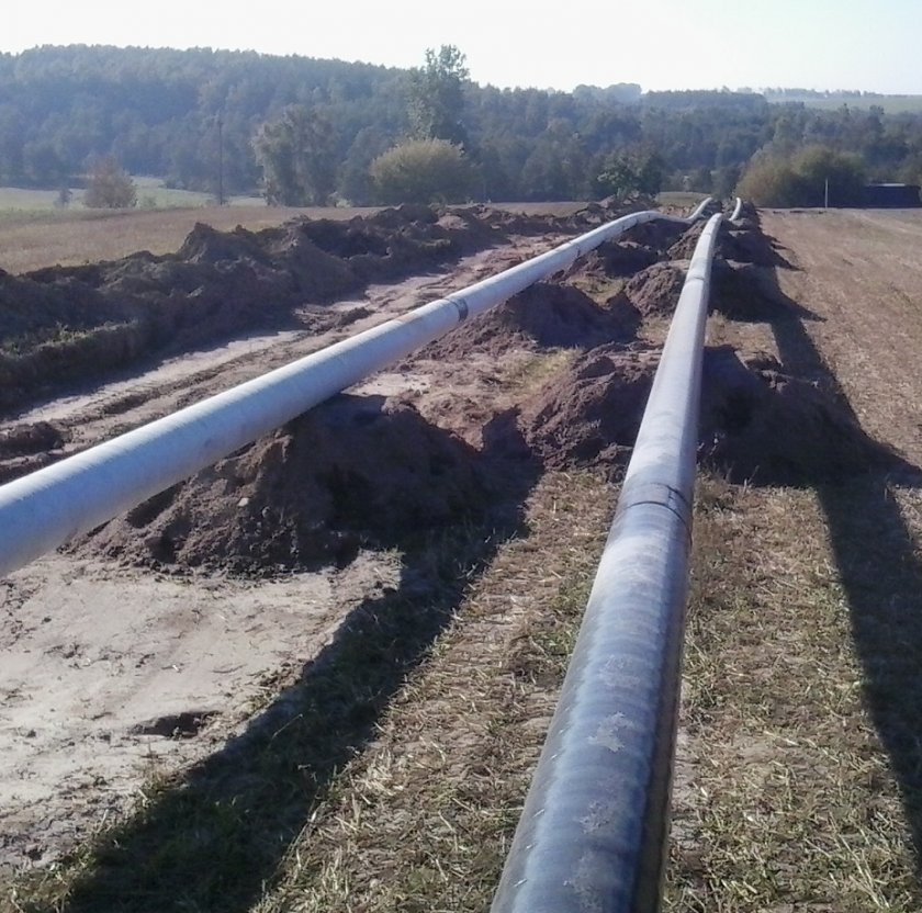
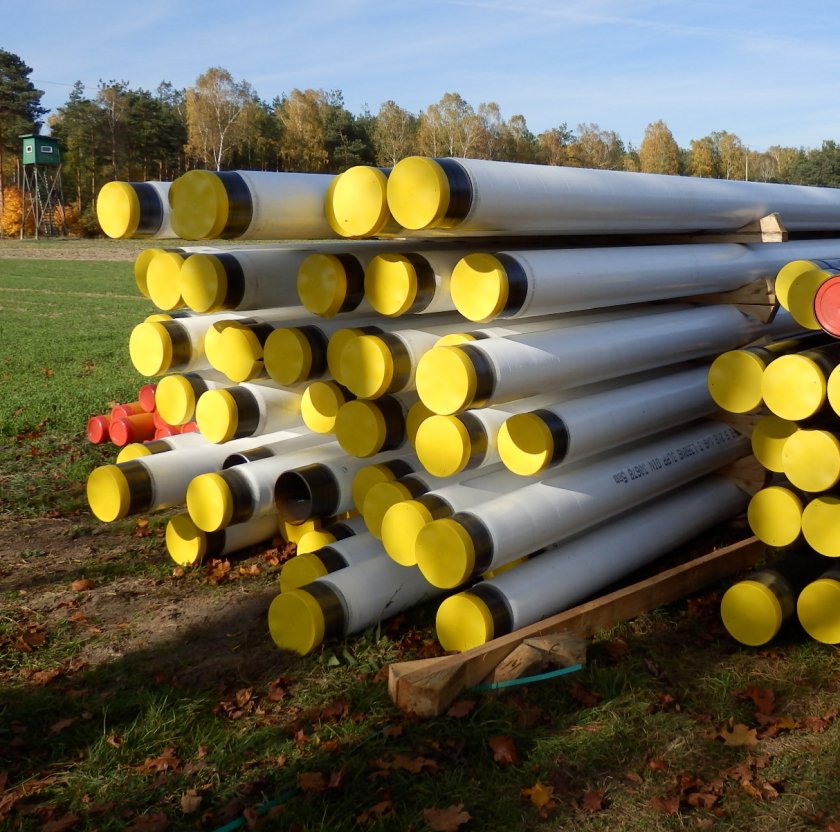
UAVs and satellites to monitor gas pipelines
 Fot.
Fot.
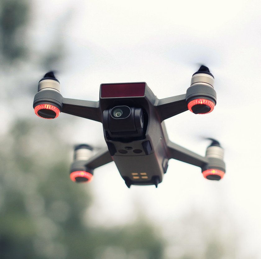
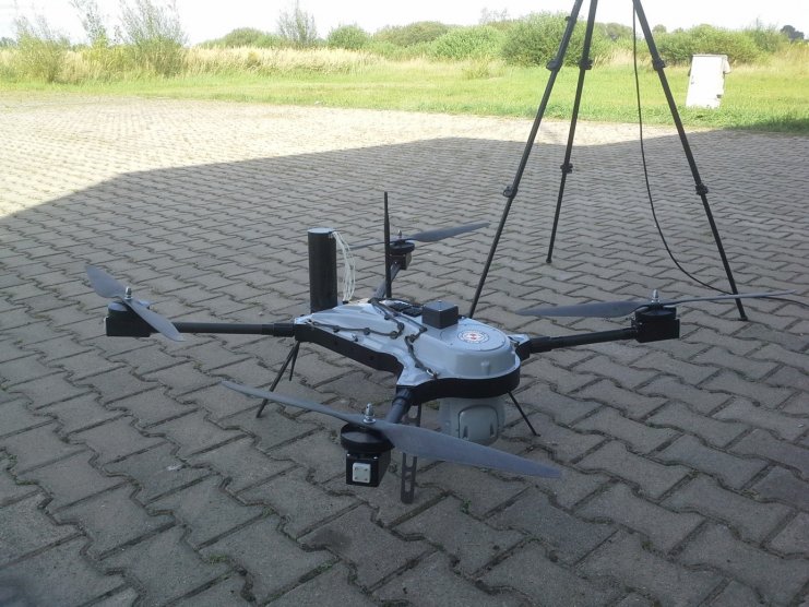
UAVs (unmanned aerial vehicles), also known as drones, can be used for the aerial inspection of natural gas infrastructure components, including the technical condition assessment of surface NG installations, detection of methane leaks (from transmission pipeline failure), and a potential violation of gas pipeline security perimeters. Terrain imaging with UAVs can help plan new gas pipeline routes. The applications of UAVs are largely limited by the imaging sensor payload.
UAVs have several benefits over helicopters in the airborne inspection of gas transmission and distribution networks:
- Much lower costs or aircraft design and operation;
- Higher readiness for emergency missions;
- Easy flight operations in urban areas (due to a low environmental impact).
Technical and security monitoring of gas pipelines can also be performed with UGVs (unmanned ground vehicles a.k.a. remotely controlled robots). There are unmanned systems available for ‘pigging’ into the gas pipelines for internal inspection.
Space-age technologies are becoming commonplace in daily life. The same goes for gas engineering. Satellite imaging can help analyse the condition of the security perimeter around gas transmission pipelines and pressure reducing and metering stations. With a resolution of 50 cm per pixel, single trees are discernible in the images of a gas pipeline route.
The commercial costs of satellite imaging make it competitive for imaging with helicopters and UAVs.
The commercial costs of satellite imaging make it competitive for imaging with helicopters and UAVs.
Additional advantages of satellite imaging include the commercial accessibility of historic satellite photos which enable the comparison of changes in the imaged terrain over time and short lead times on ordered satellite imaging missions.
Imaging analysis systems can automatically detect a conflict between the security perimeters and third-party buildings or trees. Their capabilities include analysis of changes in the vegetation overgrowth partial to methane leaks.
Imaging analysis systems can automatically detect a conflict between the security perimeters and third-party buildings or trees. Their capabilities include analysis of changes in the vegetation overgrowth partial to methane leaks.